Map reading for dummies
/
OAG Default Category /
03 Mar 2015
How to read maps and orientate them, too
MAPSOLUTE BASICS*
- The top of the map always points north.
- Public rights of way, such as footpaths, bridleways and by-ways, are indicated by different green lines but you can walk any of them.
- The red-brown squiggly lines represent contours of the landscape. The closer together they are, the steeper the land.
- The numbers on the contour lines represent the height of the land. If the numbers are increasing, you’ll be going uphill. If they are decreasing, you’re heading downhill.
* Based on an Ordnance Survey Explorer 1:25,000)
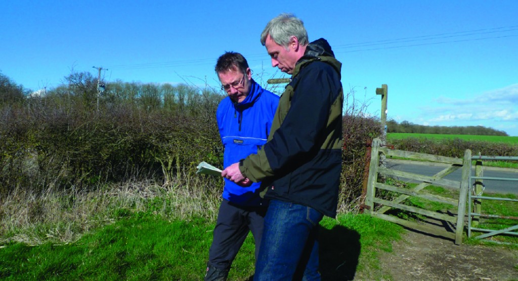
GET ORIENTATED
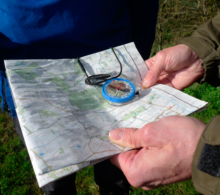
- Line up the edge of the compass with your location and your intended destination.
- Rotate the bezel until the grid lines align up with the map
- Remove the compass from the map and travel in your required direction, keeping the needle on north and following the arrow on the front of the compass housing. Use a landmark as a reference point.